Research and Development Activities

Comparative analysis of available geodata
A detailed assessment of the availability, applicability of different data types for your specific tasks.
Research, testing and compilation on processing methodologies
A bibliographic analysis and further testing of the available processing and analytics approaches and methodologies. Compilation of methods for elaboration of your optimal data processing workflow.
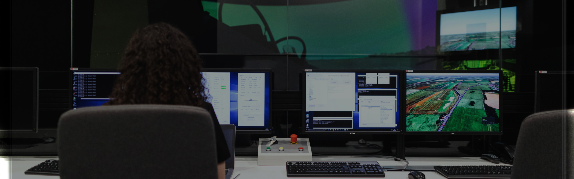
Process analysis and optimization
We analyze your current processes and suggest optimization strategies. We've successfully supported clients ranging from local agrochemical companies to regional and national government agencies.
Requirements Clarification and Proposal Preparation stages
Business analysis
Our business analysts with strong geospatial background will help you define a clear vision for your solution.
Solution architecture development
Our solution architects will develop the architecture for your solution - whether it's a web-based, desktop, or an embedded one.
Development, Deployment and Maintenance Stage
Product Management
Based on the preparatory stage, Multiscale team will have a deep understanding of your solution's unique goals and requirements. Therefore, if necessary, we can take on product management responsibilities to support your project effectively.
Project Management
If your development involves a distributed team of engineers, we can also provide professional project management services. We offer dedicated managers for data processing teams as well as for software and ML/AI projects. Our project managers have extensive experience in geospatial projects and often hold specialized geospatial-focused degrees.