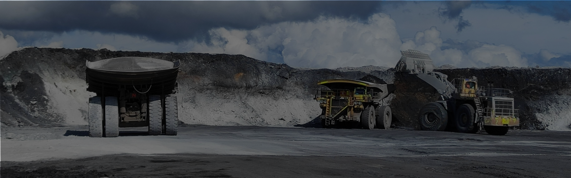
Asset tracking
Enhancing mine safety and efficiency with total asset visibility
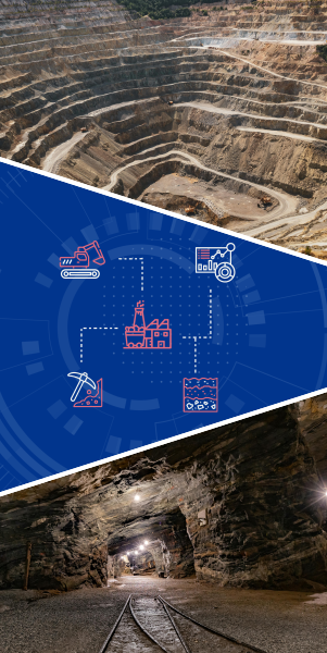
Mining site management
The intelligent operating system for your entire mining operation
Stockpile monitoring
Automated solutions for stockpile measurement, monitoring, and reporting
Analytics and prediction
Advanced predictive analytics for the entire mining lifecycle
Geological and geophysical tools
Intelligent tools for geological modeling and resource estimation
Asset tracking
- Real-Time GPS-Based Mining Asset Tracking
- IoT-Enabled Equipment & Tool Tracking
- Underground Asset Tracking & Personnel Safety Monitoring
- Geofencing & Restricted Zone Monitoring
- Environmental Condition Monitoring for Mining Sites
Approaches
- GPS-Based Geofencing: Creates virtual boundaries for mining vehicles and mobile assets.
- RFID/UWB-Based Restricted Access Control: Restricts unauthorized personnel from entering hazardous zones.
- BLE Beacons & UWB Tags: Monitors real-time locations of mobile equipment within a defined range.
- Hybrid Positioning Systems: Uses UWB, RFID, Wi-Fi, and IMUs (Inertial Measurement Units) for real-time personnel tracking.
Data Types
- GPS Coordinates (Latitude, Longitude, Altitude, Speed, Heading)
- Time Stamps for Movement History
- Sensor Data (Engine Status, Fuel Levels, Load Weight, Vibration, Temperature)
- Geofencing Boundaries & Alerts
- Equipment ID & Location (RFID Tag ID, BLE Signal Strength, UWB Coordinates)
Technologies
- GPS & Geospatial Tools: GeoPy, GDAL, Google Maps API, OpenLayers
- IoT Data Processing: AWS IoT Core, Azure IoT Hub, ThingsBoard
- Fleet Management: OpenGTS, Traccar
- Data Visualization: Kepler.gl, Leaflet.js, Power BI
- RFID Middleware: Zebra FX Connect, Impinj SDK
- IoT Frameworks: Kaa IoT, Node-RED
- BLE & UWB SDKs: Nordic Semiconductor SDK, Decawave DWM1001
- Cloud-Based IoT Platforms: Google IoT Core, ThingSpeak
Mining site management
- Mine Planning & Design Software
- Fleet Management & Dispatch Optimization
- Automated Drilling & Blasting Optimization
- Digital Twin for Mining Operations
- Mine Resource & Inventory Management
Approaches
- 3D Geological Modeling: Uses geological data to create 3D models of the ore body.
- AI-Powered Reserve Estimation: ML algorithms predict ore quality and quantity.
- GIS-Based Mine Design: Geospatial data helps optimize open-pit or underground mining.
- Simulation & Scenario Analysis: Predicts mining efficiency and safety based on different models.
- AI-Driven Precision Drilling: Machine learning models analyze rock formations.
- Blast Pattern Optimization: AI suggests drill hole locations for controlled fragmentation.
Data Types
- Geological Data: Drill hole data, rock composition, ore body models.
- Topographic Data: Elevation maps, DEMs (Digital Elevation Models).
- Geospatial Data: GIS layers, satellite imagery.
- Operational Data: Production rates, equipment performance.
- Geophysical Data: Seismic and subsurface imaging.
- Drill Rig Sensor Data: Depth, pressure, torque.
- Blast Vibration Data: Shockwave propagation.
- IoT Sensor Data: Equipment performance, environmental conditions.
Technologies
- GDAL/OGR: GIS data processing.
- Open CASCADE, OpenGL: 3D visualization.
- TensorFlow/PyTorch: AI-based ore body modeling.
- ParaView: Scientific data visualization.
- Geostatistical Libraries: GSLIB for resource estimation.
- SciPy, NumPy: Rock fragmentation analysis.
- Bentley iTwin, Siemens MindSphere: Digital twin platforms.
- CesiumJS, Three.js: 3D mine visualization.
Integration Experience
- Mining Fleet Software: Caterpillar MineStar, Hexagon Jigsaw.
- Drill & Blast Systems: Orica BlastIQ, Hexagon MinePlan.
Stockpile monitoring
- Drone-Based Stockpile Volume Measurement
- LiDAR-Based Stockpile Scanning & Analysis
- CCTV-Based Stockpile Monitoring & Security Surveillance
- Stockpile Measurement with Density & Moisture Distribution Analysis
- Bulk Cargo Theft Prevention & Tracking During Train Transportation
- Automated Stockpile Report Generation & Forecasting
Approaches
- Photogrammetry-based 3D Modeling
- Static, Mobile, or Drone-Mounted LiDAR – Used for high-precision scanning.
- CCTV & AI-Based Video Analytics
- AI-Powered Forecasting Models – Uses historical stockpile data to predict future material requirements.
- Automated Data Aggregation – Integrates real-time drone, LiDAR, and sensor data into comprehensive reports.
Data Types
- RGB Images (Captured by drone cameras)
- LiDAR Point Clouds (XYZ coordinates, intensity values)
- Digital Elevation Models (DEM)
- GeoTIFF & Orthomosaic Maps
- Volume & Density Calculations (CSV, JSON, XML)
- Electromagnetic Field Data (CSV, JSON)
- GPR Scans (RADAN, SEG-Y format)
- Moisture Content Reports (XML, CSV, PDF)
Technologies
- OpenDroneMap (ODM) – Open-source photogrammetry toolkit
- PCL (Point Cloud Library) – LiDAR point cloud processing
- Pix4D SDK / DroneDeploy API – Drone-based 3D model generation
- OpenCV – Computer vision for image processing
- GDAL – Raster and geospatial data processing
- OpenCV / YOLO (You Only Look Once) – Object detection and tracking
- FFmpeg / GStreamer – Video processing
- TensorFlow / PyTorch – AI-based anomaly detection
- Milestone XProtect / Genetec Security Center – CCTV management platforms
Integration Experience
- Mining ERP Systems (SAP, Hexagon MinePlan)
Analytics and prediction
- Ore Grade Prediction & Mineral Resource Estimation
- Predictive Maintenance for Mining Equipment
- Mine Safety & Hazard Prediction
- Environmental Impact Prediction & Sustainability Analytics
- Water & Energy Usage Prediction for Sustainable Mining
- AI-Powered Exploration Targeting & Drill Optimization
Approaches
- Geostatistics & Machine Learning (ML): Kriging, variograms, support vector machines (SVMs), and deep learning models.
- Drill Hole Data Analytics: AI models trained on core sample data to predict ore distribution.
- Time-Series Analysis & ML Anomaly Detection: Predict failures using historical sensor data.
- AI-Based Seismic & Rock Stability Prediction: ML models trained on vibration/seismic data.
- IoT-Based Environmental Monitoring: AI-driven gas leak, fire, and ventilation hazard detection.
- Geospatial Risk Analytics: LiDAR + AI to detect slope stability and tailings dam risks.
- Satellite Imagery for Land Degradation Monitoring: AI analysis of vegetation loss.
- Remote Sensing for Tailings Dam Stability: AI-based risk prediction from LiDAR/elevation data.
- Carbon Footprint Estimation Models: AI-powered energy and emissions tracking.
- Geospatial AI for Drill Targeting: ML-based anomaly detection in geophysical data.
Data Types
- Drill hole data (borehole logs, geochemical assays)
- Geophysical survey data (seismic, LiDAR, electromagnetic)
- GIS spatial datasets (DEM, mineral deposit maps)
- Historical ore grade data and geological models
- IoT sensor data (vibration, thermal, oil condition, acoustics)
- Equipment logs & maintenance history
- SCADA/PLC (Supervisory Control and Data Acquisition) system data
Technologies
- Python: scikit-learn, TensorFlow, PyTorch, GeoPandas, GDAL
- R: gstat, sp, raster
- GIS/Remote Sensing: QGIS, Google Earth Engine API
- Big Data Processing: Apache Spark, Dask
Integration Experience
- Geological Modeling Software (Leapfrog, Surpac, Vulcan)
- Cloud-based platforms for geospatial data processing (AWS S3, Google Earth Engine)
- AI-powered dashboards for predictive safety analysis (Power BI, Tableau, Grafana)
Geological and geophysical tools
- Geological Data Management & 3D Modeling
- AI-Powered Ore Body Detection & Grade Estimation
- UAV-Based Aerial Geophysical Surveys & Mapping
- Seismic & Ground Penetrating Radar (GPR) Data Analysis
- Geochemical Data Processing & Anomaly Detection
- Borehole Logging & Real-Time Downhole Data Analysis
- Digital Twin for Geological & Geophysical Exploration
- Mine Planning & Resource Estimation Software
- Environmental & Hydrogeological Risk Assessment
- AI-based groundwater contamination prediction
- GIS-based hydrological modeling
Approaches
- Centralized geological database with GIS-based spatial analysis
- AI-driven lithology classification from drillhole data
- 3D voxel-based subsurface modeling
- Cloud-based collaborative geological data visualization
- Machine learning on geological and geophysical datasets
- AI-enhanced seismic reflection and refraction interpretation
- Automated fault and fracture detection using deep learning
- 3D inversion modeling for subsurface imaging
- GIS-based geochemical hotspot visualization
Data Types
- Drillhole data (CSV, LAS, DLIS)
- Geological maps (GeoTIFF, SHP, DXF)
- Geophysical survey data (SEG-Y, XYZ)
- 3D mesh & volumetric data (OBJ, STL, VTK)
- Assay results (XLS, CSV)
- LiDAR point clouds (LAS, LAZ)
- GPR data (RADAN, SEGY)
- Velocity models (CSV, VTK)
- Hydrology datasets (HDF5, CSV)
Technologies
- GDAL/OGR (geospatial data processing)
- PyVista/VTK (3D geological modeling)
- GeoPandas/Shapely (geospatial analysis)
- TensorFlow/PyTorch (AI-driven lithology classification)
- GeoStatPy/PyKrige (geostatistical modeling)
- OpenDroneMap (UAV photogrammetry)
- PDAL (LiDAR processing)
- Rasterio (hyperspectral imaging analysis)
- PyMAVLink (UAV telemetry integration)
- MODFLOW (groundwater modeling)