
Custom navigation solutions
Geodata-powered, multimodal routes for automotive applications
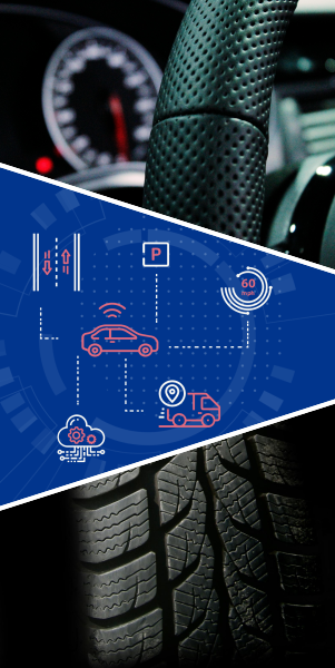
Connected Cars
Smart vehicle connectivity with cities, services, and shared fleets
Automotive sensor data processing
Cloud and edge analytics for automotive sensor systems
Road signage recognition
Smart recognition of traffic signs under real-world conditions
Telematics
Collect, analyze, and act on real-time vehicle data
Autonomous Driving & ADAS
Advanced sensor fusion and mapping for self-driving systems
Custom navigation solutions
- Custom path planning.
- Route planning based on the client’s geodata.
- Multimodal routes
Approaches
- Graph-Based Algorithms (A*, Dijkstra, Bellman-Ford, Floyd-Warshall)
- Sampling-Based Methods (RRT, PRM)
- Optimization-based (Linear Programming, Gradient Descent, Dynamic Programming, Simulated Annealing)
- ML-based methods (Genetic algorithms, etc.)
Technologies
- Open Source Routing Machine
- Leaflet Routing Machine
- Google OR-Tools
- Geotools
- Open Motion Planning Library,
- Boost Graph Library
- NetworkX
- PGRouting
- PathFinding.js
- Pybullet
- Gurobi
Connected cars
- Interaction of vehicles with smart city infrastructure
- Integration with municipal services
Approaches
- Vehicle-to-Everything (V2X) Communication (V2I, V2V, V2N, V2P)
- Edge and Cloud Computing
Protocols
- Dedicated Short-Range Communication
- Cellular-V2X
- CoAP
- ITS-G5
- RTSP
Technologies
- IoT Platforms (AWS IoT Core, Azure IoT Hub, Google Cloud IoT, Eclipse IoT)
- Smart City Integration Frameworks (FIWARE, OneM2M)
- Communication (libpcap, tcpdump, Veins)
- Data Processing and Analytics (Apache Flink / Spark, H3)
Automotive sensor data processing
- Assistance with advanced onboard/cloud processing of new sensors (such as LiDARs and radars) designed for autonomous driving.
- Collection and transfer of information from sensors used in logistics (e.g., temperature sensors for cold chain logistics).
- Development of additional functionality to repurpose automotive sensors for other domains (e.g., using ADAS LiDARs and cameras for road condition analysis).
Approaches
- Sensor fusion
- Edge processing
- Cloud processing
- Real-Time Stream Processing
- Event-Driven Architecture
Protocols
- Automotive-Specific Protocols (CAN, LIN, FlexRay, Automotive Ethernet, MOST)
- IoT and Data Transmission Protocols (MQTT, DDS, CoAP)
- Real-Time Streaming Protocols (RTSP, Kafka)
Technologies
- OpenCV
- PCL
- Apache Flink / Apache Kafka
- EdgeX Foundry
- SciPy
- Librosa
- Autoware
- PyLidar
Road signage recognition
- Road sign recognition and information extraction
- Assessment of the status of road signs (reflectivity, integrity, proper installation).
Challenges
- Lighting and Weather Conditions
- Occlusions and Partial Visibility
- Real-Time Constraints
- Diverse Standards and Shapes
Approaches
- Image Processing-Based
- Machine Learning-Based
- Deep Learning-Based
- Object Detection Models
- Instance Segmentation
- Real-Time Systems
Telematics
- Collecting information from the vehicle’s internal systems for further processing or visualization.
- Developing solutions for drivers that integrate telematics data with other information sources to optimize decision-making.
- Predictive maintenance solutions based on telematics data.
Approaches
- Vehicle data acquisition (OBD-II ports, TCUs). Metrics examples: speed, fuel consumption, engine health, tire pressure, location, etc.
- Communication Technologies (Cellular, LPWan, V2X)
- Real-time analytics (Complex Event Processing, real-time data pipelines)
Technologies
- ELM327 Libraries
- GPS Data Libraries (Geopy, GPSD)
- CAN Bus Tools (SocketCAN, cantools)
- Apache Kafka/Flink
- Redis Streams
- InfluxDB
- Data Fusion Frameworks (Fiware, ETL Tools)
- Predictive maintenance technologies (Scikit-Learn, TensorFlow, PyTorch, Azure Machine Learning, AWS SageMaker)
Autonomous Driving & ADAS
- Development of high-resolution maps for autonomous driving.
- Development of additional functionality for ADAS-related cases (automated parking, road width estimation for U-turn possibility)
Approaches
- Sensor-based mapping (camera, LiDAR, Radar, IMU, GPS)
- Data Fusion (Kalman Filters, deep learning)
- Simultaneous Localization and Mapping (LIDAR SLAM, Visual SLAM, RGB-D SLAM)
- HD Map Layering (Semantic, Geometric, Behavioral)
- Cloud-Based Mapping
- AI-Assisted Mapping
Data Types
- Point Clouds
- Imagery (including stereo and depth data)
- Semantic Data
- Mesh Data
- Metadata
Technologies
- PCL
- Open3D
- COLMAP
- AliceVision
- Cartographer (Google)
- PyLidar
- OpenCV
- Fast Global Registration
- OpenMVS
- HD Mapping platforms integration (HERE, TomTom, Mapbox, Google)