Why a Custom Geoportal Beats Out-of-the-Box Solutions for Spatial Data Workflows
What Is a Geoportal or a Web Geo-Solution?
Imagine the following scenarios. If you’ve worked in infrastructure, energy, logistics, urban planning, or any data-heavy domain with spatial components, you’ve likely encountered them:
Individual departments in your organization each hold spatial data, yet there’s no unified system to share and access this data across teams.
You want to analyze your internal geodata together with public datasets, such as cadastral maps, weather information, or demographic overlays.
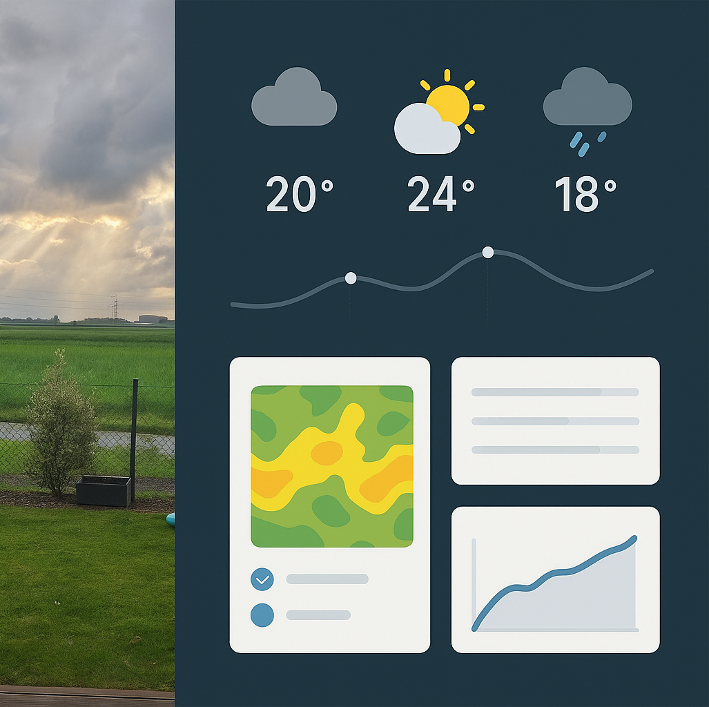
You need to visualize real-time information—the movement of assets, live status updates from field teams, or equipment operations in the field.
You plan to offer location-based services (proximity alerts, routing tools, or interactive maps for customers or staff).
All of these use cases are served by a web geo-solution, or custom geoportal—a web-based platform tailored to visualize, share, collaboratively edit, and analyze spatial data in real time or near-real time.
But the question is: why go custom?
Why Custom Geoportals Make Sense (and Out-of-the-Box Doesn’t)
Out-of-the-box or SaaS geoportals (like ArcGIS Online, Mapbox Studio, or Google Maps Platform) offer quick onboarding and familiar toolkits. However, their structure and licensing often come with hard limits:
Rigid user models and pricing tiers (user-based or data-volume-based) make scaling cost-inefficient.
Data storage is external, limiting control, security, and integration with internal systems.
Customization is shallow, unless you operate within the constraints of their APIs or enterprise offerings.
Real-time integration, especially for live telemetry, operations data, or field workflows, often requires additional middleware or isn’t supported at all.
In contrast, custom-developed geoportals can be seamlessly embedded into your existing business systems—ERP, TMS, CRM, SCADA, or custom DBs—and support your domain-specific logic, workflows, and data policies from day one.
Architecture Overview: What a Custom Geoportal Includes
A typical custom geoportal is built around the following core components:
Frontend Web Application: An interactive map interface, user dashboards, reporting tools, spatial data upload and visualization widgets.
Backend & Middleware: APIs to handle spatial data queries, real-time updates, access control, data processing, and custom logic (e.g., risk scoring, routing, filtering).
Geospatial Server Stack: For storing, rendering, and analyzing spatial data (raster and vector formats, spatial queries, geoprocessing tools).
Database: Spatially-enabled databases like PostGIS or proprietary equivalents to store structured geodata efficiently.
Data Integration Layer: Pulls in real-time data streams (e.g., GPS trackers, IoT sensors), enterprise system feeds, and public datasets.
User Management & Permissions: Role-based access control down to the data layer—who sees what and can do what with each dataset.
Technology Stacks: Proprietary vs Open Source
Depending on your licensing preferences, integration constraints, and long-term ownership goals, you can choose between proprietary and open-source stacks—or a hybrid of both.
Proprietary Stack Example (ESRI-based)
Frontend: ArcGIS API for JavaScript, Experience Builder, Web AppBuilder
Geoserver: ArcGIS Server / ArcGIS Online
Database: ArcSDE with SQL Server / Oracle / PostgreSQL
Integration: ArcGIS REST API, GeoEvent Server (for real-time), ArcGIS Enterprise
Pros: Robust ecosystem, mature tools, wide user base
Cons: Costly licensing, closed ecosystem, limited flexibility outside ESRI tools
Open-Source Stack Example
Frontend: React / Vue + Leaflet / OpenLayers / MapLibre GL
Geoserver: GeoServer / MapServer / Lizmap
Database: PostgreSQL + PostGIS
Integration: Python (Django/FastAPI), Node.js, or .NET for backend APIs
Real-Time: MQTT / WebSockets / Kafka for live data ingestion and stream processing
Pros: Fully customizable, no license fees, full data control
Cons: Requires skilled development team, more effort for UI polish or enterprise features
Hybrid Approach
Many enterprises opt for hybrid solutions, such as:
Using Mapbox GL for frontend rendering with a GeoServer backend
Combining ArcGIS Online for public sharing with an internal open-source geoportal
Embedding QGIS Server outputs into a custom web app for light GIS-heavy workflows
When a Custom Geoportal Is the Right Choice
You manage domain-specific data models that don’t fit out-of-the-box schemas.
You need tight integration with internal systems, APIs, authentication layers, or business logic.
Your workflows require real-time or near-real-time geospatial analytics (field operations, live assets, remote sensing).
You want ownership over your spatial infrastructure—how data is stored, used, and scaled.
Your budget allows you to invest in a long-term, maintainable internal solution, instead of paying recurring license fees.
Conclusion
Custom geoportals aren’t just about maps. They are about control, integration, and data leverage. If your organization treats spatial data as operationally critical—not just as a visual layer—then building a geo-solution tailored to your reality isn’t a luxury. It’s a necessity.